TAUERN
back to front page: Ines hiking
I’m not even quite home from the last trip, and haven’t found time to update for the last couple of days yet, BUT I’m already preparing for the next adventure!
This time it’s with a group of friends, and we’re going to ramble the Austrian Tauern mountain range!
- TAUERN – DAY 00
Travel day to Radstadt
22-07-22
As the heading says… it’s travel day. Up into some new mountains! 🙂
We all meet up in lovely Radstadt, where we have a nice stay at Stadtappartments Oppeneiger, and start out a great trip with yummy pizza and some refreshing beers at Glust Kuchl on the Stadtplatz.
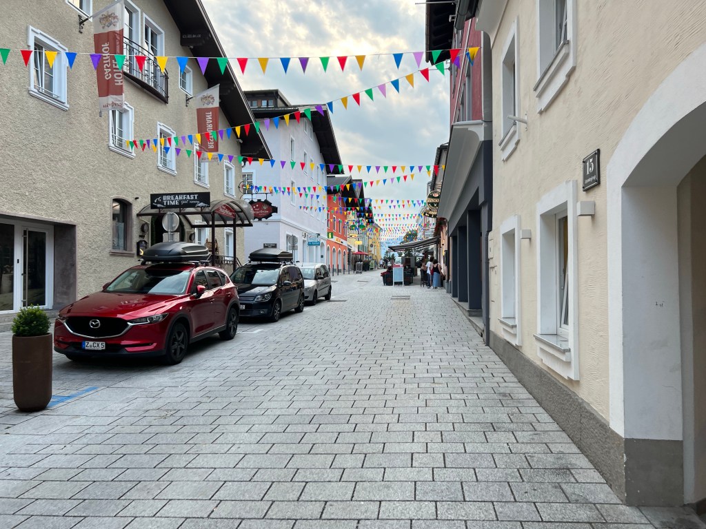
Radstadt There we also get a chance to listen to the open-air Sommerkonzert of Stadtkapelle Radstadt, who play very diverse music and are really quite good.
After dinner we have a stroll around town, get some more cash, and consider dropping in at the local Dorfdisco (but feel a bit underdressed(?)).
Then we opt for a relatively early night, in order to catch the early bus in the morning.
- TAUERN – DAY 01
From Obertauern to Südwiener Hütte; with ‘optional top’ Spirzinger
22-07-23
Bright and early we pick up some coffee and food from a bakery, and catch the bus up to Obertauern Passhöhe at approx. 1730m asl.
Obertauern is quite a weird ski resort / village, and at least this early in morning it’s really quit.
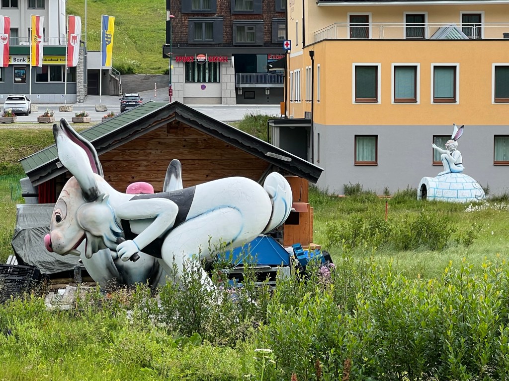
Schihaserl at Obertauern After checking out the -great!- public toilet and putting on sun cream, we set out along the Zentralalpenweg 02.

along Zentralalpenweg 02 We have a first break at pitoresque Wildsee (1940m asl).

Wildsee It’s still quite wet ground from the night’s rainfalls, so it’s perfect conditions for a little salamander who’s enjoying the sun on the path.

salamander (?) We pass by the Hengst (2074m asl), where we have lunch, and before long we arrive at Südwiener Hütte (1802m asl).

Südwiener Hütte After a refreshment drink and checking in at our Lager, some of us get our motivation up and tackle the local top Spirzinger (2066m asl) with just light packs/a bottle of water.

Spirzinger It’s very hot, the sun really is baking us; so we drop the second local top, but just leave a note in the Gipfelbuch, enjoy the 360-degree view, then speed down again to the hut for more 🍺.
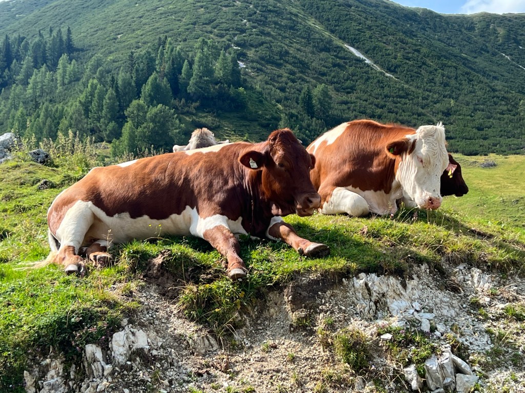
We get drafted by Hüttenwirtin Tanja to get some fresh milk from the nearby Alm; so we get to visit the local cow herd. They’re cute… but also too hot.
After dinner we play cards for a while; but we’re all too tired to fight about who’s winning. So it’s again an early night.
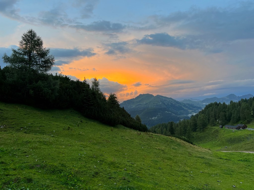
reflected sunset seen from Südwiener Hütte Day 1 statistics:
9,3km, 665m ascent, 600m descent
plus additional top: 2,3km, 260m ascent, 260m descent
- TAUERN – DAY 02
From Südwiener Hütte to Franz Fischer Hütte
22-07-24
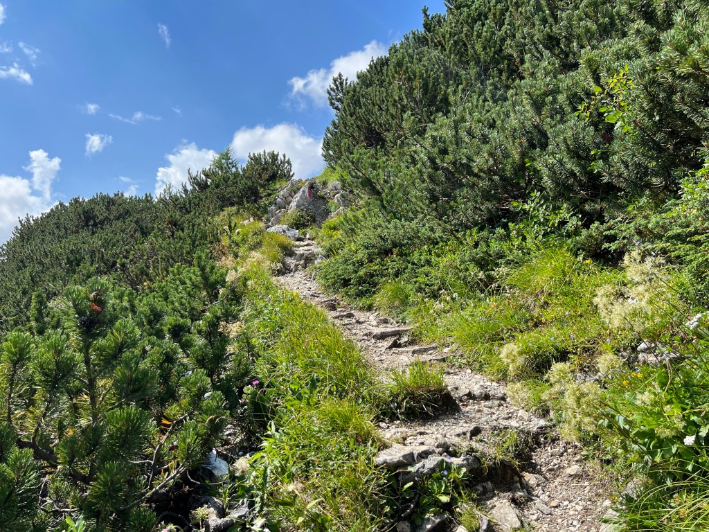
We’re off early again to make use of the cooler morning hours. Again we’re continuing on the Zentralalpenweg 02.
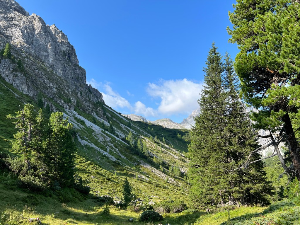
further along Zentralalpenweg 02, past Höllkogel For a while we’re following the high voltage power lines; guessing from the protective structures there’s quite strong winds and lots of snow here during winter…
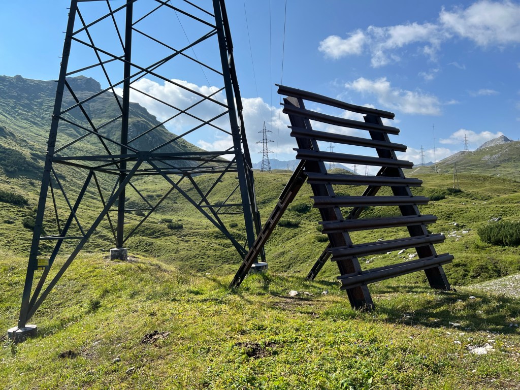
power lines on Windsfeld After a good -but not too steep- climb, we reach the pass of Taferlscharte at 2236m asl.
Tafelscharte From there it’s first steeply down, and then traversing in a long curve along the mountain ridge.
It’s quite long, a bit up and a bit down… but there’s plenty of sights on the way:

frog / toad / prince? 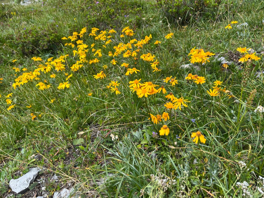
colourful mountain medows 
ventilation shafts from the E-55 Tauerntunnel 
‘wool grass’ with rocky mountain backdrop It’s already a long, hot day, and we keep our motivation up by the hope for a cool drink and maybe some cake at Jakoberalm. But unfortunately it’s closed this season… So we have to make do with their delicious, cool spring water.
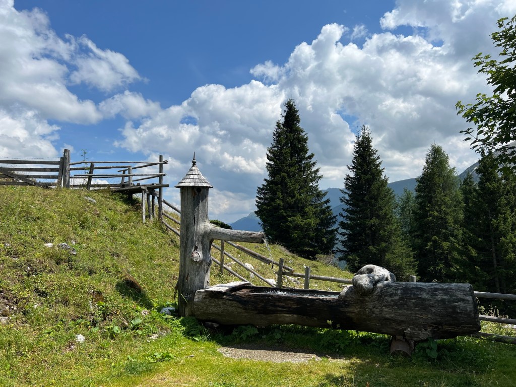
spring water fountain at Jakoberalm We also sample their toilets: 9 out of 10 points!

Then it’s more up and down and through roasting temperature fields of Latschen. We make up delirious stories about the conspiracy of the marmots to keep ourselves entertained.

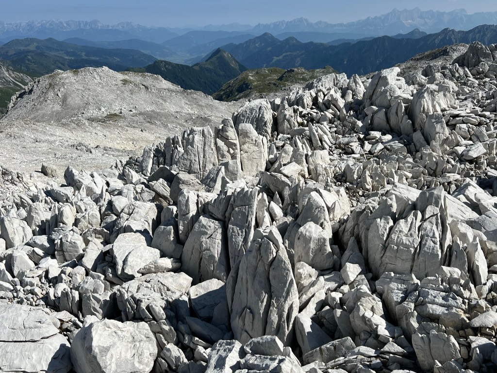
beautiful rocks rock! Finally we get to Essersee, and some fellow hikers, who we pass by, recommend it dearly to go for a swim there. It’s supposedly much nice than the lake by the hut; and also it’s not far to the hut from here anyway.
We won’t be asked twice – and all jump into the lake. What a delight!
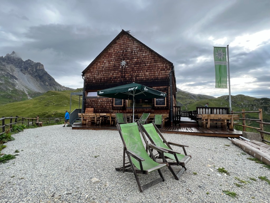
Essersee After having cooled down, we almost sprint the last kilometer down to the mountain refuge hut at 2020m asl, where we get a very warm and kind welcome and more refreshing cool drinks that we enjoy in what tiny corner of shadow there is on the terrace.
Then we get served a lovely three-course vegan dinner – we’re in heaven!
evening at Franz Fischer Hütte Day 2 statistics:
14,3km, 1030m ascent, 815m descent
- TAUERN – DAY 03
Mosermandl top and back to Franz Fischer Hütte
22-07-25
We have booked two nights at Franz Fischer Hütte, which means we can head out with just light backpacks today to conquer Mosermandl.
We aim to start reasonably early, and actually also manage to set out by 8:20.
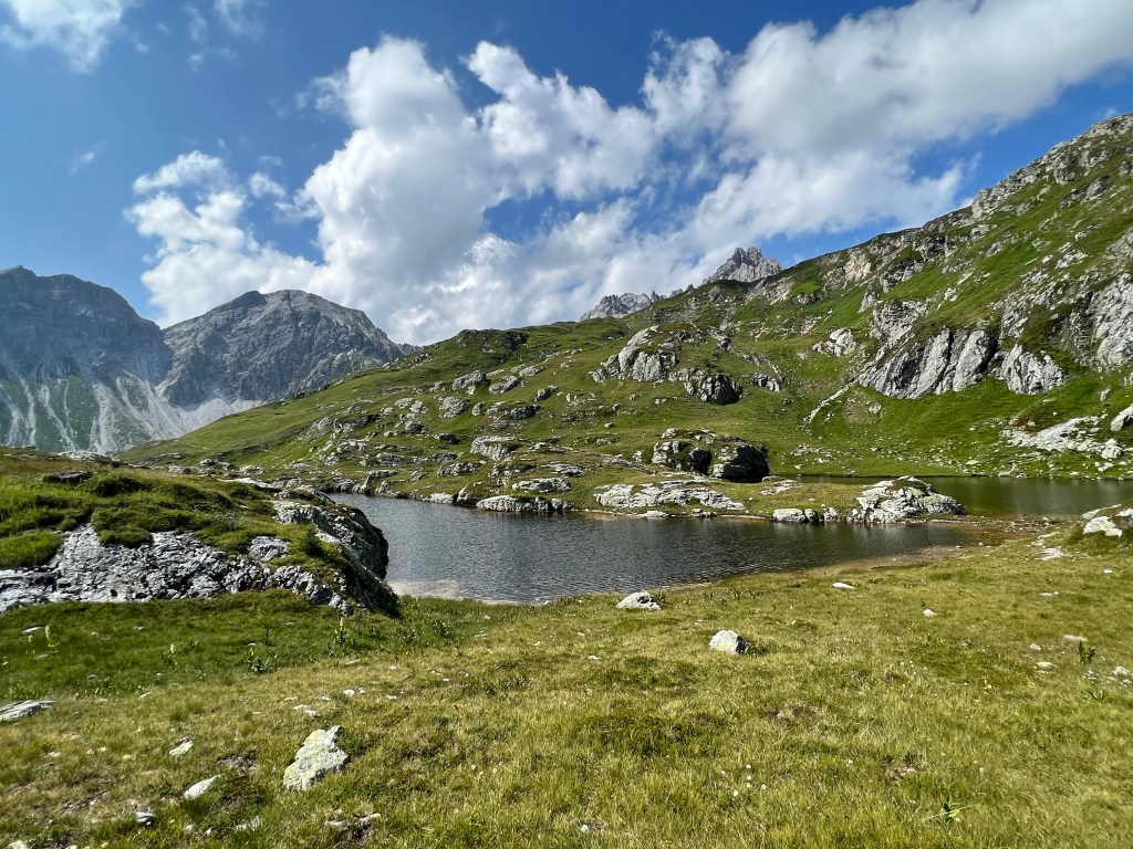
We first walk along Zaunersee, and then follow the serpentines up to Windischscharte at 2298m asl.

neighbouring Faulkogel seen from about Windischscharte The path gets more and more rocky, and the views more and more beautiful, the further we get up.
‘moon landscape’ north of Windischkopf The last part is an actual climb, but luckily there is a fixedly mounted steel cable to help and keep us safe.

Mosermandl 
climbing higher and higher At the 2680m high top of Mosermandl we feel victorious, and are rewarded with stunning long distance views in all directions. Wish I knew all those mountains and places… anyway, so beautiful!

long view from the top – maybe Glockner-/Venediger-massiv? Then we ramble back down again on the same path, and this time try Zaunersee for a swim before returning to the hut.
We’re back early, so there’s the chance to try some Kaspressknödelsuppe or Apfelstrudel together with cool drinks on the terrace.
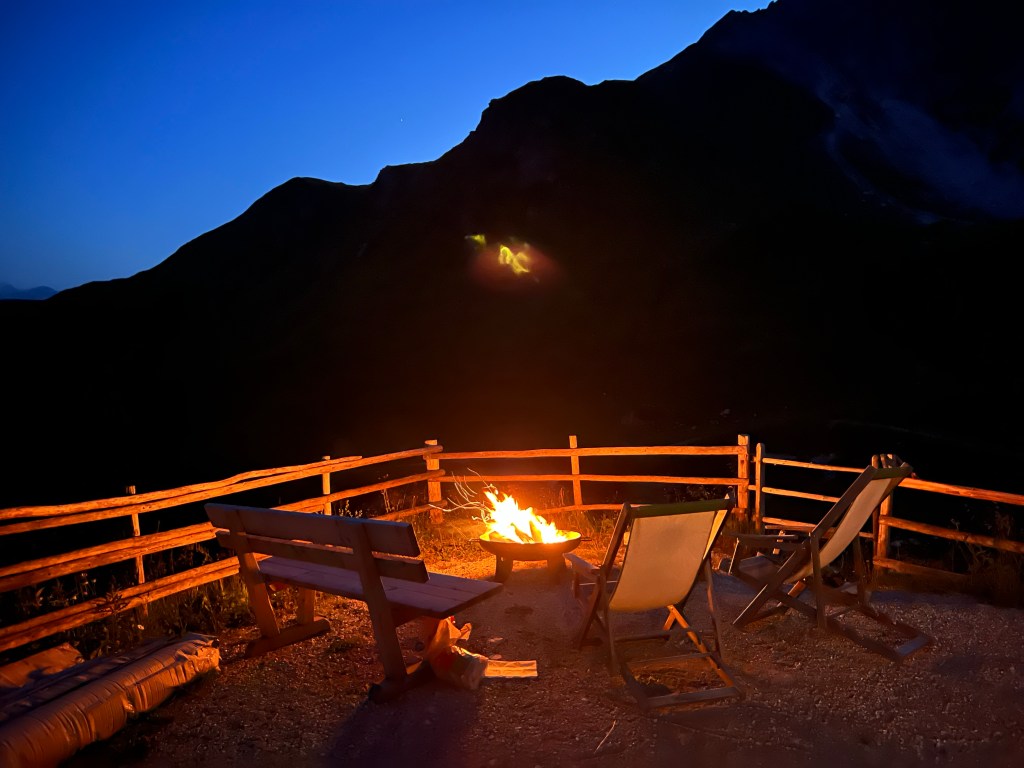
In the evening thunderstorms develop – we get to see a rainbow, and later on far distance Wetterleuchten, and then a proper downpour with lightning and thunder.

We get another lovely delicous vegan dinner, have a revenge in the card game, share some wine and stories, and then fall asleep early.
Day 3 statistics:
8,5km, 740m ascent, 740m descent
- TAUERN – DAY 04
From Franz Fischer Hütte to Sticklerhütte
22-07-26
The weather has changed: dark clouds and rain.
When asked, the person running the refuge hut recommends to wait another hour, because then the rain would be gone, and it would have dried up a bit; also, according to them, there is not going to be thunderstorms today, and we should definitely take the longer/higher scenic route.
We take a vote and agree unanimously: we follow that advice!
So finally we leave, but with a sad heart; it’s been so lovely here. And any other food will be just disappointing now.
Franz Fischer Hütte (2020m asl) The path follows the hillside slowly climbing to a little lake: Ilgsee. Would have been another nice bathing opportunity, but it’s too early in the day and the weather is not quite nice enough.

Ilgsee Hiking on, we pass a junction where we would have turned to go down to Tappenkarseehütte as per our previous plan; probably nice as well.
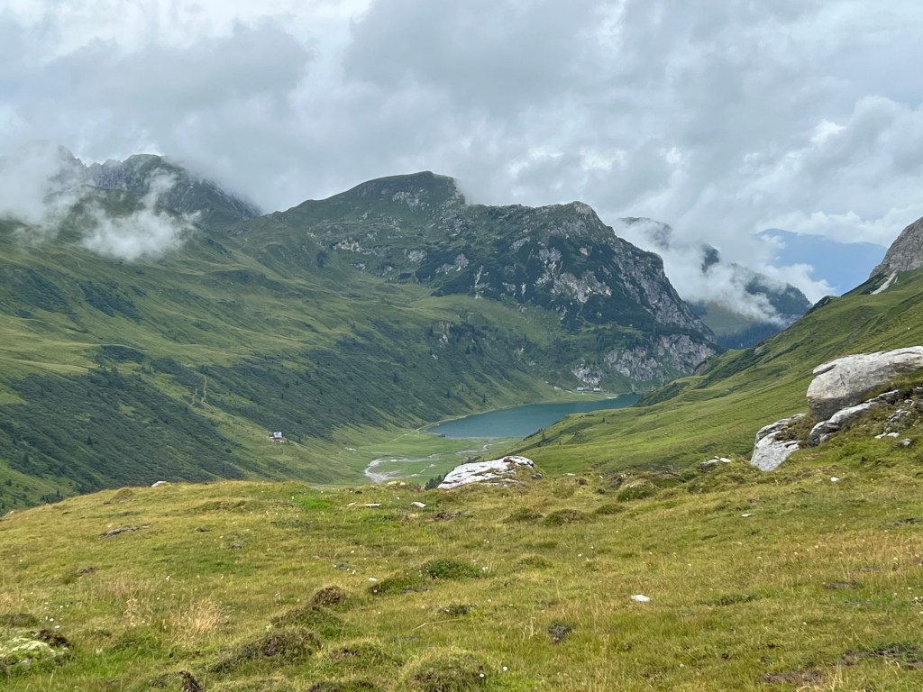
Tappenkarsee Then the path slowly climbs towards Wasserfallscharte, with gorgeous views all around.

glaciers in the distance, looking west through Wasserfallscharte We pass a small herd of cute young cows that curiously stare at us…
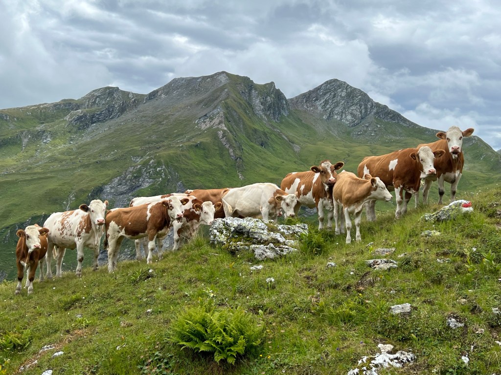
cow kindergarden (without their teacher) …and loads of various kinds of beautiful flowers.

The weather had been okay so far; but heading up towards Nebelkarscharte (which translates as ‘foggy corrie pass’), fittingly fog and low clouds start to blow through.
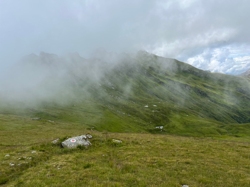
fog / Nebel But the fog doesn’t stay, and we have clear views on the last steep climp up to the gap.

Nebelkarscharte (2453m asl) Walking down the other side we meet lots of sheep, mostly black ones.

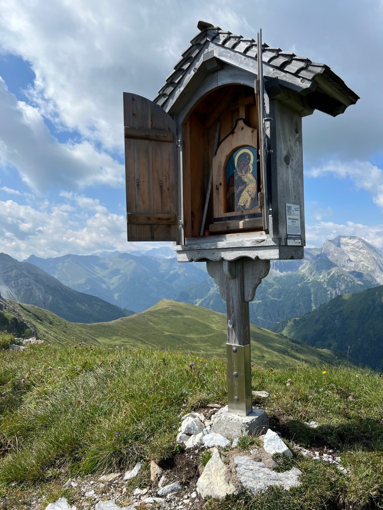
black sheep are taking over! And soon we arrive at Murtörl, where we check out the various wayside shrines and crosses. Seems like a very Austrian tradition to erect these things as memorial for people who died in mountain accidents.

Murtörl (2260m asl) From there the path serpentines down a steep meadow alongside a little stream; with views down to the lush valley all the way.

looking down into Murtal On the last few hundred meters before the hut, we’re held up by trying not to get too close to some cow-mothers with their calves, who are leisurely walking on our path.

small calves and their mothers Of course, because of this delay, we just get hit by the first rain shower of the day, before we finally make it to Sticklerhütte and some well deserved Radler.

Sticklerhütte (1750m asl) Day 4 statistics:
14,8km, 795m ascent, 1055m descent
- TAUERN – DAY 05
From Sticklerhütte to Arsenhaus / Rotgülden
22-07-27
In the morning it’s still rainy. Although the forcast is for better weather in the morning, it’s still drizzling when we leave the hut.
We have decided to take the shortest route and just follow the gravel road to tackle the 500m descent in elevation and get to Arsenhaus in Rotgülden to catch a bus.
There is still plenty to see along the way: clear rivers with colourful stones and flowers…
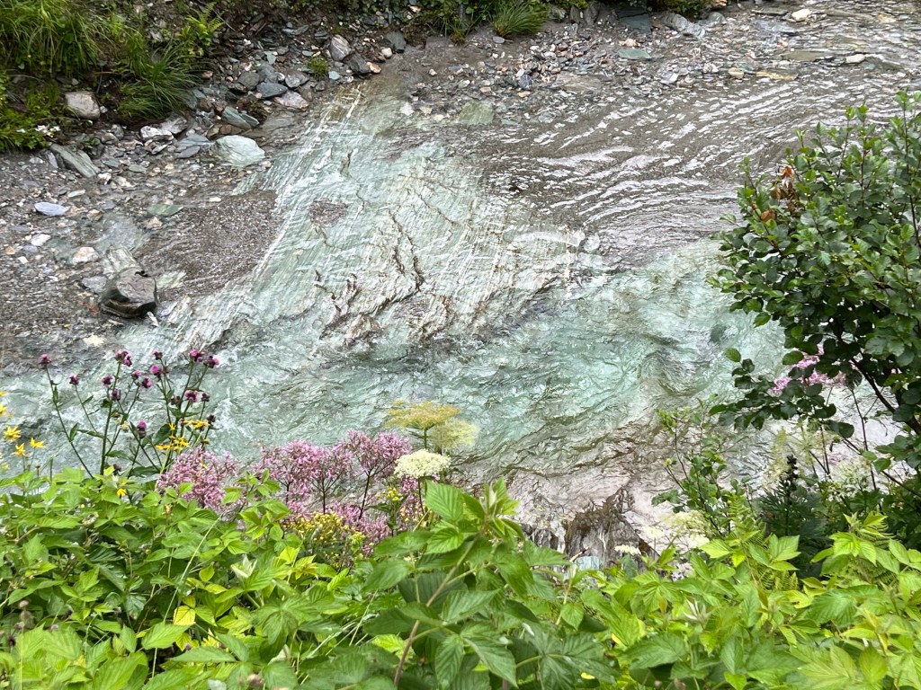
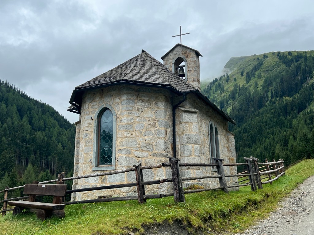
beautiful coloured stone in river Mur …the lovely chapel at Muritzen,…
Muritzn Kapelle …and plenty of small and larger waterfalls everywhere.

waterfalls Quite quickly we’re down in Rotgülden and catch the buses that take us (with two changes) back to Radstadt.

road to Rotgülden (bus stop at 1340m asl) And so another lovely trip comes to end; the great memories of an amazing time of a hike with a fantastic group of people remain.
Day 5 statistics:
7,4km, 70m ascent, 485m descent
Statistics trip total:
approx. 57km, 3.600m ascent, 4.000m descent
back to front page: Ines hiking
