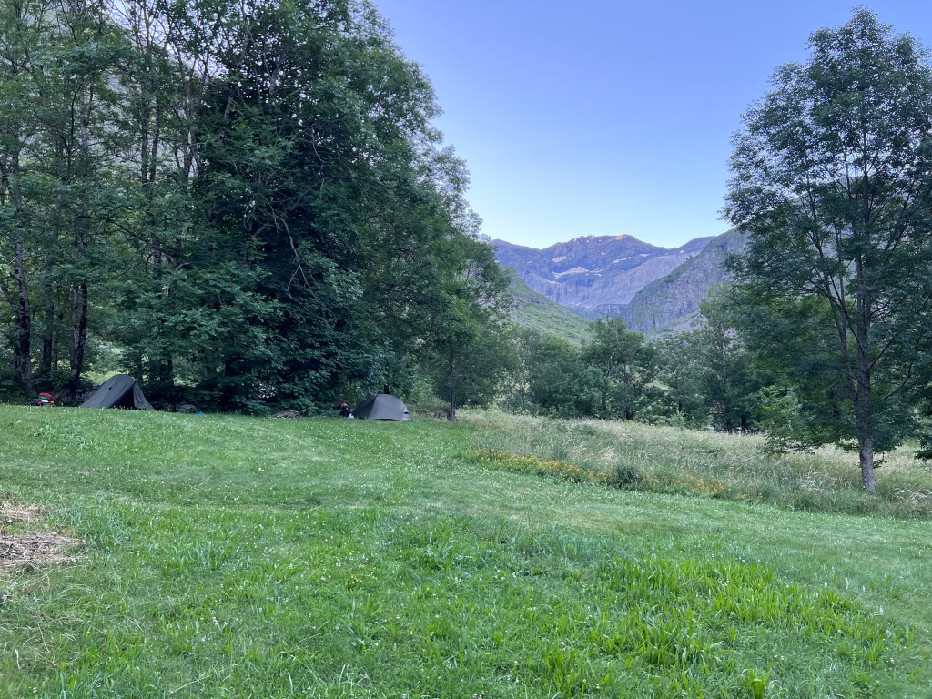
From Héas to Lacs de Barroude
22-07-13
Pretending to have learned from the last day(s), I aim to leave by 6:30 for the long climb of today (*insert laugh from those who know me*).
But by 10 past 7 I’m on my way and climbing the steep serpentines, as the sun is raising and bathing the opposite side of the valley in baking light.
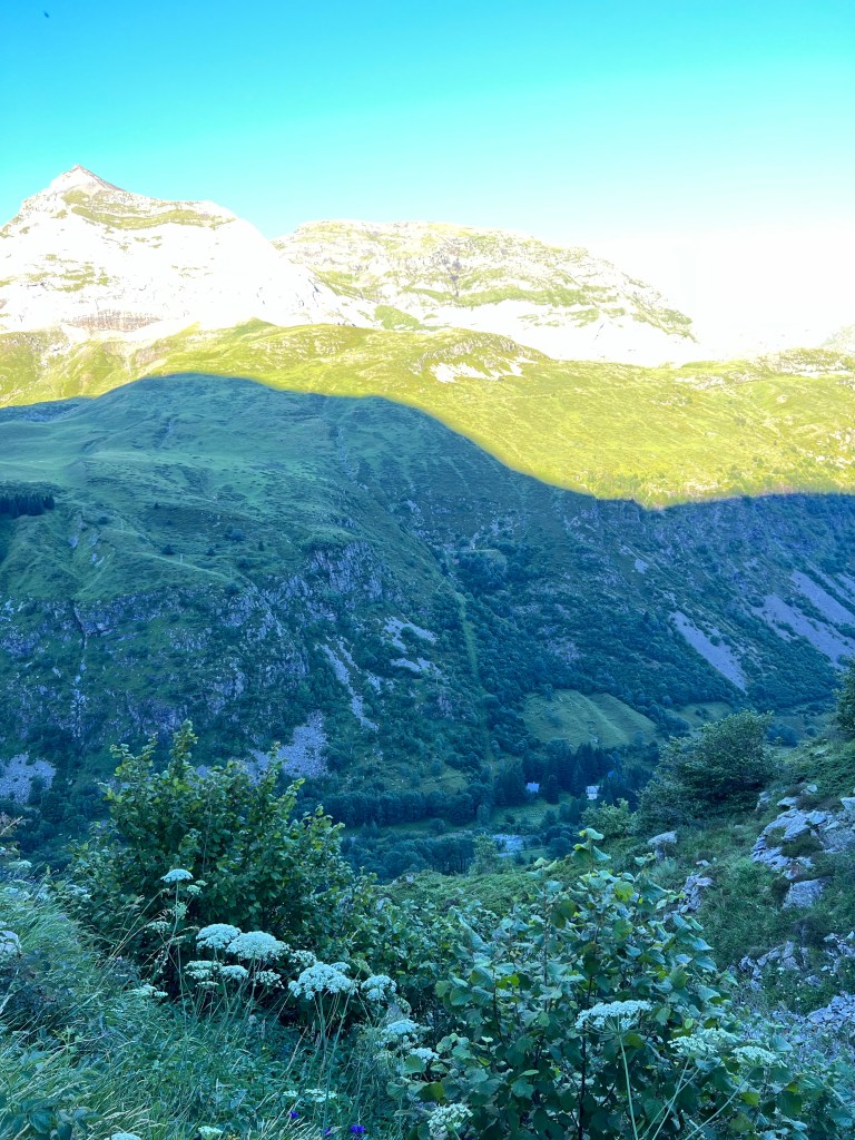
I get caught up by a nice Irish person who I had aready seen the day before and on the camp site, and we get chatting as we slowly climb on.
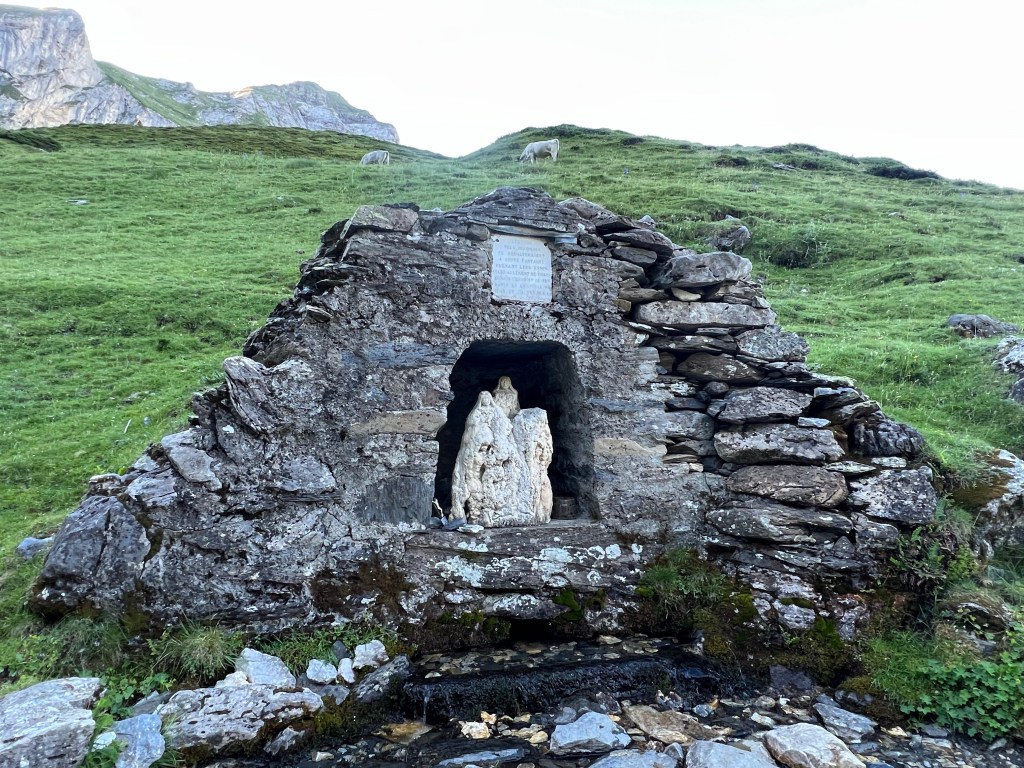
With that mental diversion the next hundreds of meters of elevation pass like a breeze, and we -almost- rush past the last water source before the end of the day, by Cabane des Aguilous at 2285m asl.
So we re-descend for some meters and try to find where the river surfaces from underground. After having filled up our water to maximum carrying capacity, D. hikes on while I have a short snack break.

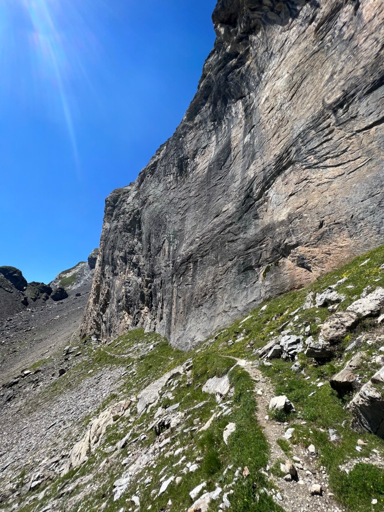
Then I also tackle the final ascent to Hourquette de Héas (2608m asl) with some steep serpentines in part slippery scree slopes and partly along under rock faces; although not really dangerous, this is testing my fear of heights. Superglad I brought and switched into my proper hiking boots halfway up from the water point.
Glad at finally having reached the top of the pass, with its worn down but colourful Nepalese-style flags, I turn the last corner, and…

NO WAY, I can’t do THIS!
The path continues along a smooth sloping rock face that drops into nothing, and then turns around a corner and disappears from view due to the steepness!
I -almost- panic, and decide to first just sit down in a safe spot on the warm rock, drink some water, check that I’m really on the right path (yes, I am), and take stock of options: I can turn around (although not looking forward to scramble down what I just fought my nerves to come up; that’s boring but possible) and hike on elsewhere; maybe hitchhike and take a bus to hop over some section?

Or -just maybe- I could do this, if it’s just this little short bit?? Having calmed down and gotten used to the situation from my ‘safe spot’, I manage to get myself to venture out (without the big backpack, just my little fanny pack and -of course- my Garmin mini, just in case) and millimeter by millimeter nudge along the rock those 10m until another ‘safe spot’ where the continuation of the path is visible… and: YES! this I CAN do: from here on it’s basically just steep scree slope with clear path and no further cliffs. So, I turn around, cross the ‘crux’ 10m once more (already a bit easier) to get my backpack. Then, still centimetre by centimetre and clinging on to the rock with my hands, but already a lot easier, I cross a third time, and then shout out (almost silently) in joy over my ‘achievement’ – I have done it!!
(And, just to get this right: in dry conditions I would not consider this little section really risky or technically too difficult; but completely freaking me out mentally.)

From there it’s still slow and careful going, but without any further freaking out or problems; down a good part and then back up on the grassy slopes of the next pass – Hourquette de Chermentas (2439m asl).

It’s only half past 12, I feel like I’ve done a full day’s hike already but am still not too tired, and there is glorious views all around – couldn’t feel better! (honestly, I’m probably still on an adrenaline high 😉
The path continues traversing more steep-ish slopes (nothing can stop me now, though).
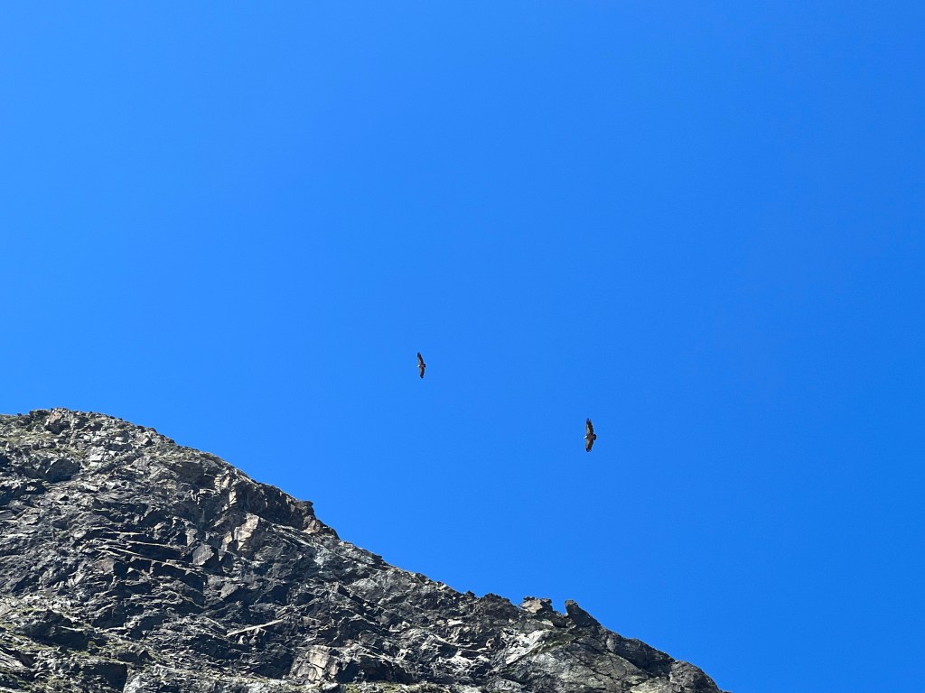
I find a rare spot where some rocks provide shade and have a break, and watch a bunch of huge birds (eagles?) sailing in the afternoon uphill breeze. When they’re closer they sound like a small sailing airplane!
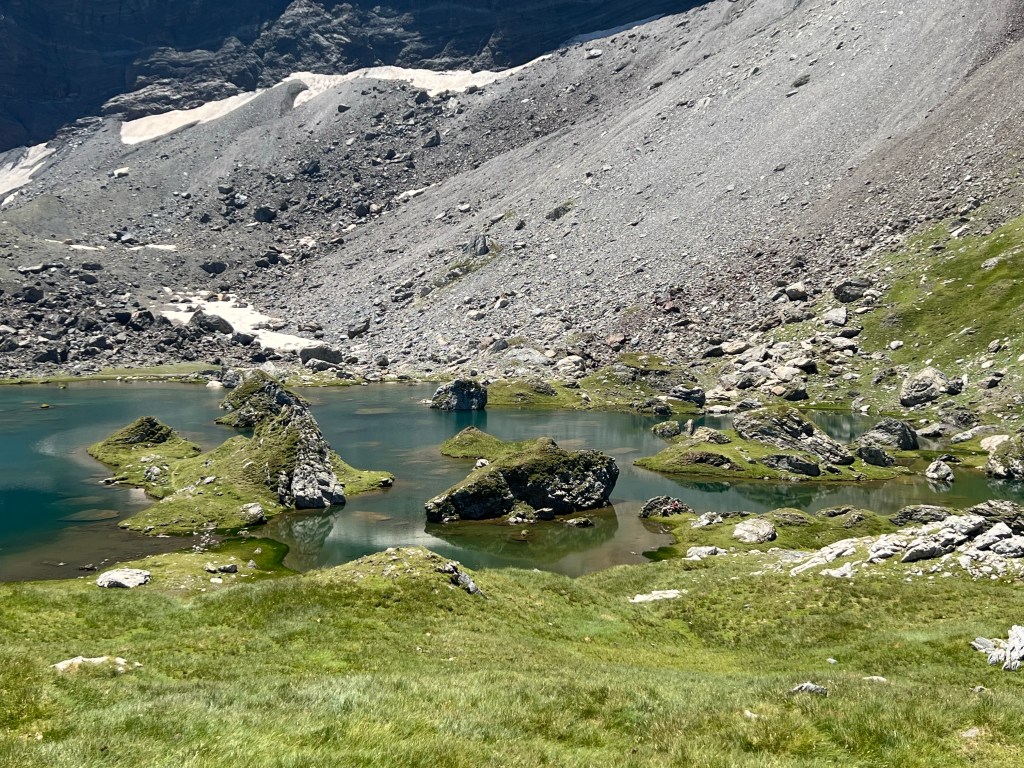
The the trail reaches a grassy plateau and I pass some smaller, stale lakes. And few hundred meters on I reach the magic Lac de Barroude: spotted with small rocks and islands and carved into by half-islands and rocks, it lays like fairytale-land under the tall cliffs and the Glacier de Barroude.
I drop my bag, undress and ‘jump’ into the lake (it’s too warm and all muddy ground that stirs up… so a bit of a downer); then spend the rest of the afternoon under my towel-and-hiking-poles shade contraption, read and watch the herders do their thing with their sheep on the other side of the lake.

As sun is starting to disappear behind the rockface at 18:30, I find a tent spot by the outlet of the lake, have my well deserved and long awaited freeze dried mac’n’cheese, and go to sleep.

approx. 7h incl. breaks;
13,6km, 1420m ascent, 570m descent
