From near Refuge Wallon to Refuge des Oulettes de Gaube
22-07-08
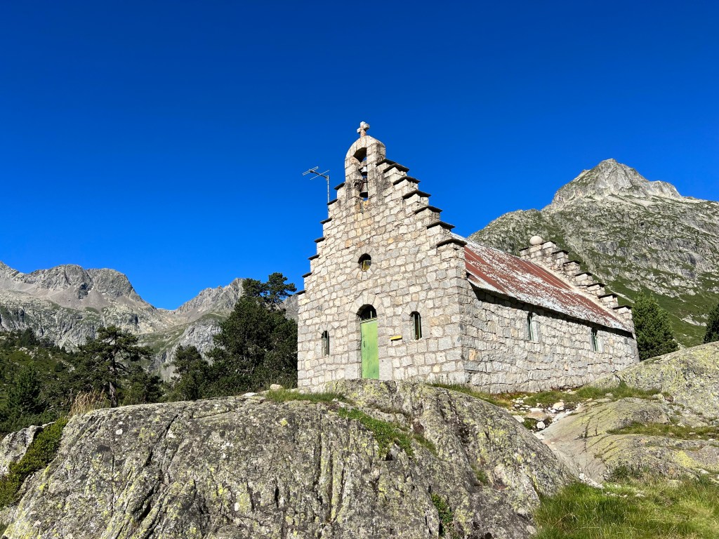
No cow-attack during the night, just super restful sleep due to the river’s constant noise. Wake up to totally clear sky again, and make my way to do some sightseeing of Refuge Wallon and the nearby Chapelle du Marcadau.

The refuge is completely new and should have opened end of 2021… but still isn’t.
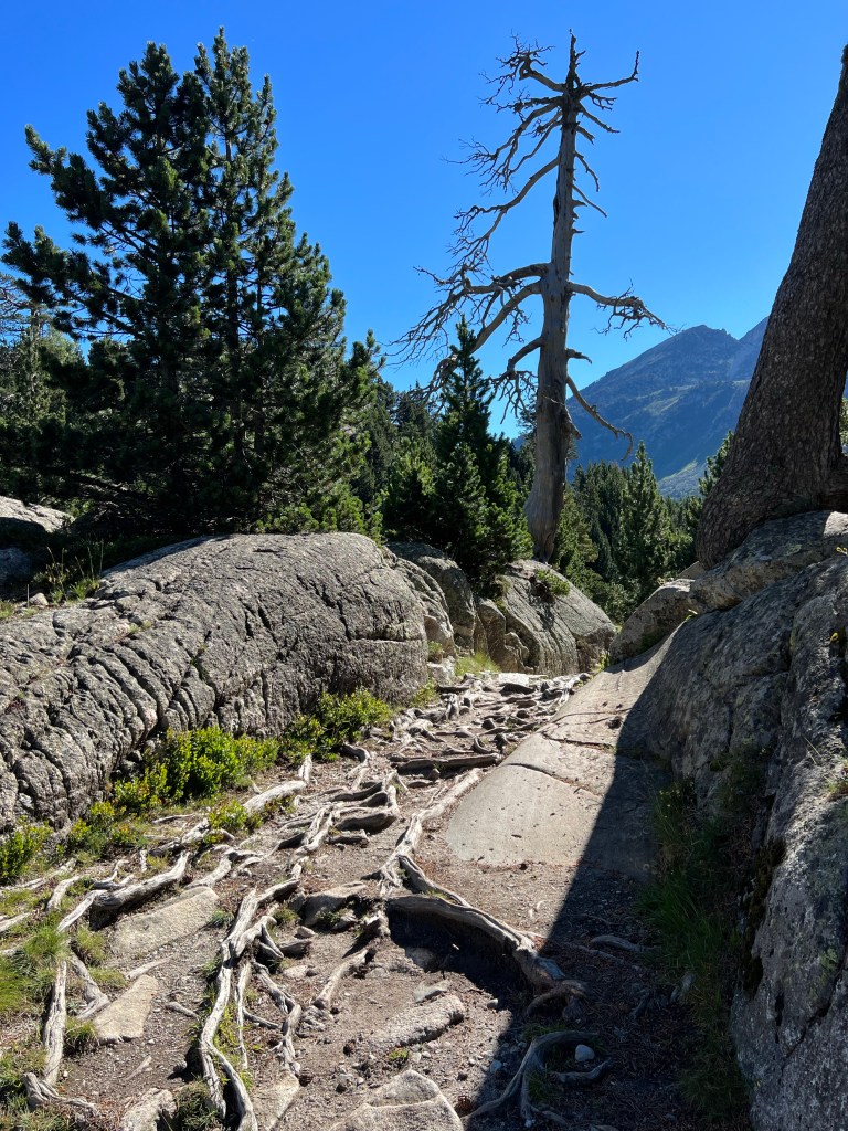
Then it’s across the river and up the next valley, on a nice, constantly climbing path. It’s getting hot today!

After a while I reach Lac d’Arratille where I have my first break (second breakfast).

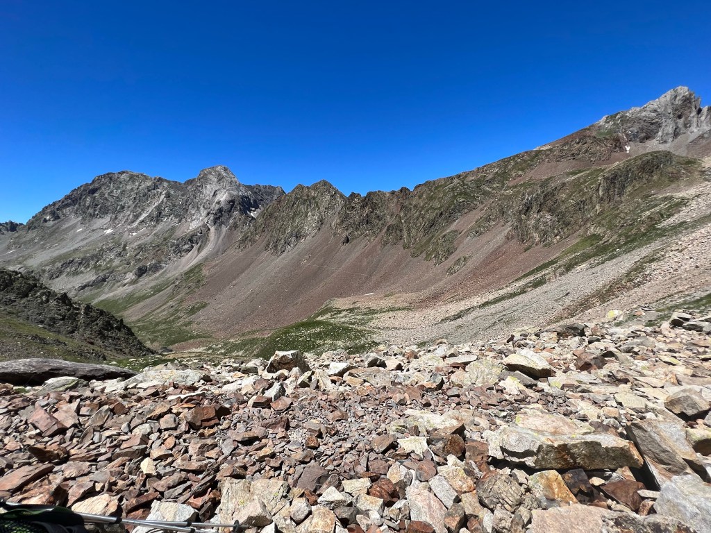
Then it’s steeper and steeper up to Lac du Col d’Arratille, which is -as the name implies- just below Col d’Arratille (2528m asl).

From there I have another dip into Spain, starting with a bit of sketchy scrambling. But it’s not really dangerous and I manage to keep my surfacing fear of heights under control.
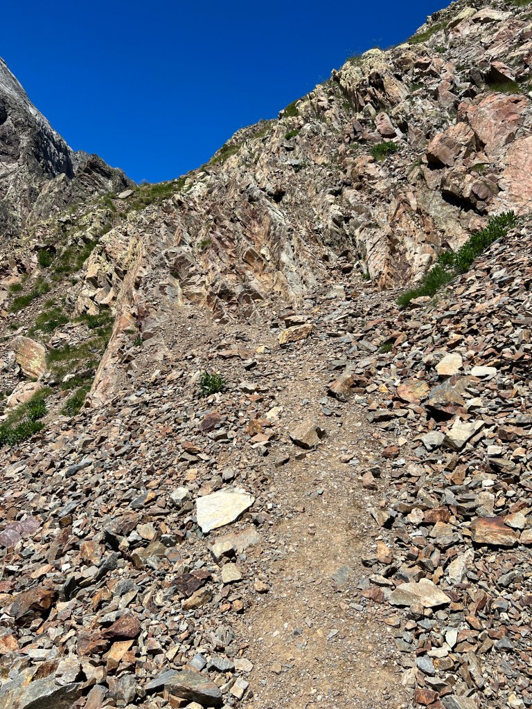
Along the scree mountainside, and then up back to France via Col des Mulets (2591m asl).
From there it’s another quite steep scree slope down – but far less scary to me; and luckily there’s no snow left in the path.

That’s where I meet a flock of what I believe to be izards; not that shy, but stupidly running down along the path some 10meters in front of me, instead of heading out to the side and letting ‘dangerous’ me pass…

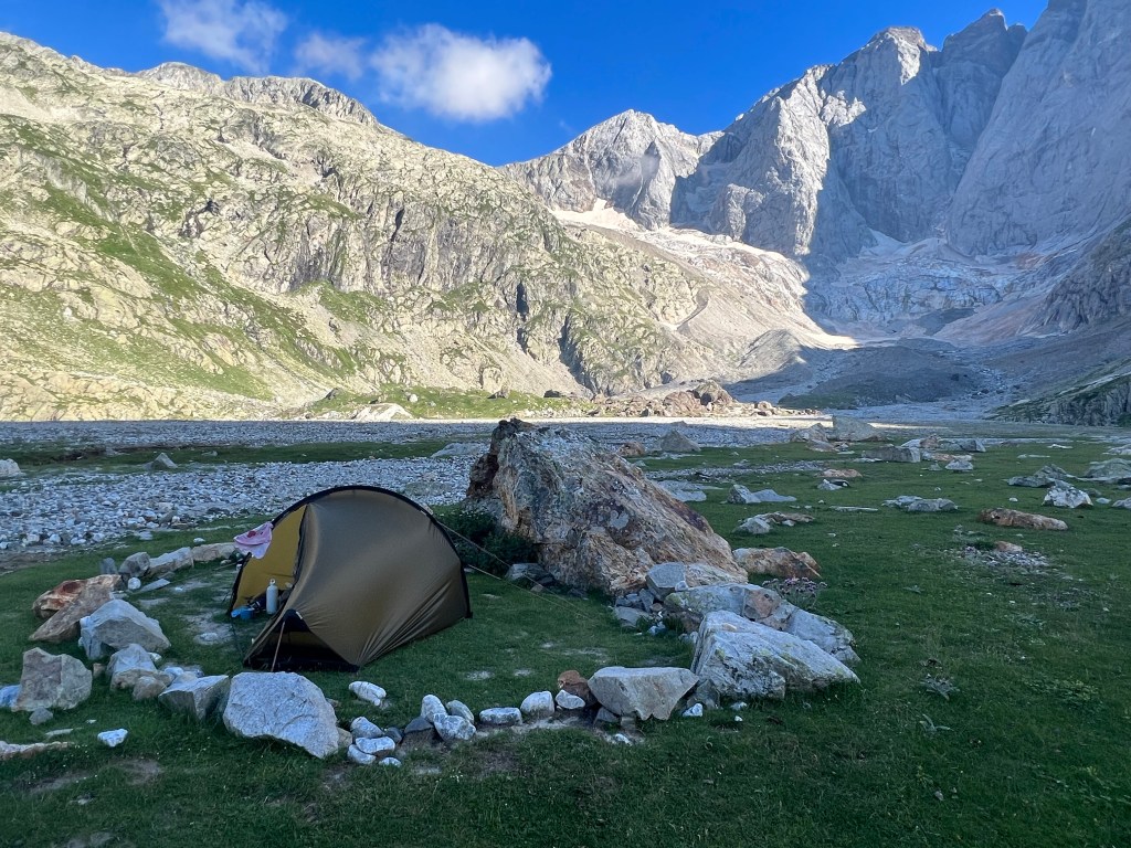
After some toe-hurting downward zig-zags I arrive in the basin of the Gave des Oulettes de Gaube and Refuge des Oulettes de Gaube.

It’s 3 o’clock and I finally have my proper lunch break, and check the map and my spreadsheet for the plan. That’s when I realise that I’m actually a day ahead of schedule! And the 700 or so meters up in baking afternoon sun to the next refuge and it’s poor bivouac site does not look too enticing… also it’s really nice to chill in the sun by the river; and there is some phantastic bivouac spots! And I should still be able to make it to Gavarnie by tomorrow evening (that is: according to plan). So, the decision is easy: I stay here for the night and call it a ‘rest’ day 😉
approx. 5,5h incl. breaks;
9,96km, 880m ascent, 660m descent
